Outbreaks of warm February weather: blame the jet stream
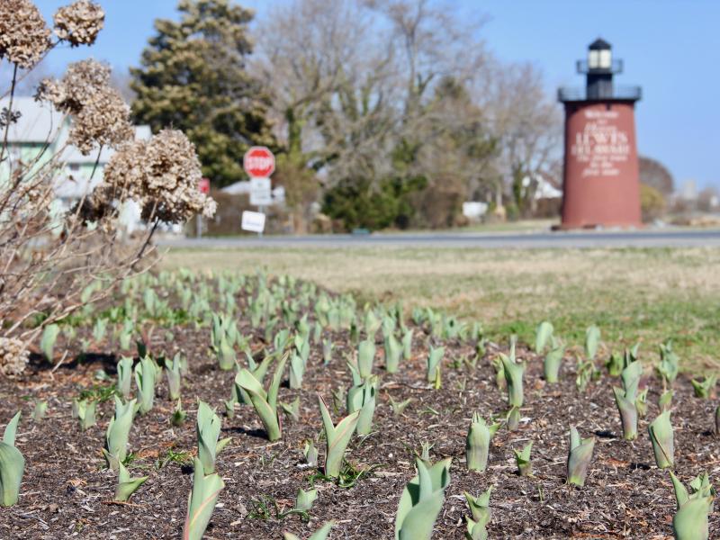
This week felt a whole lot like last February when we had summertime temperatures confusing everything from birds and people to tulips and peach blossoms.
Tom Kines, senior meteorologist at Accuweather, says blame it on the jet stream. That's the narrow band of westerly blowing wind that circles our planet up around 15,000 to 20,000 feet.
"Whenever we have a warm outbreak or a cold outbreak of weather, you can always blame the jet stream. It separates cold and warm air masses, and guides our weather systems. This week the jet stream is north of us, and that allows warm air from the Gulf of Mexico to move into our area. When it's south of us, like it was during that bitter cold week back in early January, it allows cold air from Canada to settle down over us."
Last year, said Kines, we had several days in February with temperatures in the 70s. "That was one of the warmest Februarys on record. Anytime you have a month averaging seven or eight degrees above normal you're into record territory."
He said while January this year felt so long and cold, by the end of the month, a few warm spells counterbalanced the early month's chill. "When all was said and done in January," he said, "we ended up only about a degree below normal."
It's too early to tell how February will end this year, but this week gave it a jolt into the warm side of things.
Kines said out west, states are experiencing record cold temperatures. "The jet stream has pushed south of a lot of that area out there. It's fairly typical that when the west is experiencing record cold, we're experiencing the opposite. That seems to be the way the atmosphere balances things out."
How's spring looking?
So how does the rest of the winter look - March and on into April?
"We're looking at temperatures near or slightly below normal," said Kines. "There could be some warm spells, and moving into May the scales could tip a little - maybe a little warmer than usual."
He said we may also see a stormy weather pattern in March. "In the coastal areas rain, and in the inland areas some snow to deal with. But at that time of the year it doesn't last long. We get warm air masses from the south clashing with cold air coming down from Canada. They battle it out and that brings on storms. Mother Nature gets angry."
For the eastern United States, Kines said weather patterns in Europe and out over the Pacific can inform weather forecasting. "Looking upstream, a lot of what we see there now can give us clues of what we may be getting 20 to 30 days from now. Over the Pacific, the pattern we're seeing typically leads to a little cooler temperatures and storms down the road for this part of the country."
He added that clockwise-turning high-pressure systems that roll across the northern tier of the country from west to east in the spring can spell bad news for us. "In New England and the northeast, those clockwise-flowing systems will get out over the ocean and then bring cooler air in on us. Boston, Providence, Cape Cod, it can be brutal for them. In the mid-Atlantic it might be in the 60s and 70s inland in the spring, while it's much cooler along the coast because of those same systems. In the fall, those high-pressure systems usually shift to the south. Those are the Bermuda highs," said Kines. "That's when they bring us southerly and southwesterly winds off the warm ocean and the nice weather that we have in September, October and November."
It's nice to have a couple of warm days in February, but with the ocean temperature off our coast holding at a steady 38, don't expect the heat to last for long. But if it does, you know what to blame it on.


