Buying waterfront? Check out these two websites
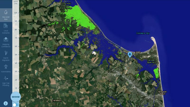
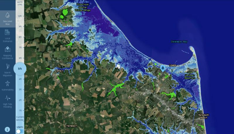
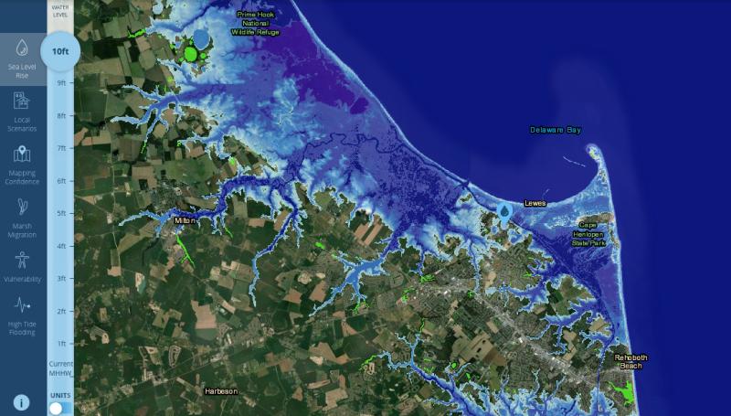
Delaware is the lowest-lying state in the country. Over the years, the Gazette has documented flood waters coming from the ocean and bays. Two relatively new government websites provide property owners with predictive models of flooding in the future and how to try to mitigate the possible damage.
The first to launch was a high-resolution land cover data set called Digital Coast that was created by the National Oceanic and Atmospheric Administration. According to a late-January press release, the data can be used to improve planning for sea-level rise, protect communities from flooding, inform wetland restoration projects and enable other activities to build climate resilience. NOAA’s traditional land cover product featured a 30-meter resolution. The new land cover data has 1-meter resolution, making the product much more detailed. This website can found be at coast.noaa.gov/digitalcoast.
More recently, Delaware Department of Natural Resources and Environmental Control launched a flood-planning aid called Individual Adaptation Decision And Planning Tool. According to a late-April press release, users input answers about their property and preferences, and I-ADAPT uses that information to identify personalized adaptation solutions people can incorporate now or in the future to increase their property’s resilience to flood events. The recommendations also include estimated budgets and additional resources for specific projects. This website can be found at dnrec.delaware.gov/coastal-programs/i-adapt.
I’m not in the market for a new house. Even if I was, it almost certainly wouldn’t be waterfront – financial reasons, not location reasons. However, if I were, I would probably use these two websites to try and negotiate the price, because it appears some of the current waterfront and near-waterfront homes for sale are either going to be underwater in the next few decades or on stilts.
It’s time to leave earlier
Quick, let's play a game. If I say, “Virginia, Virginia, Maryland, New Jersey, Maryland, Maryland, Maryland, D.C., New York, Virginia, Virginia, New Jersey, Maryland, Virginia, D.C., Delaware, Virginia.” Where am I and what am I doing?
If you guessed driving west on Route 16, between Ellendale and Greenwood, on a holiday weekend, you’re correct.
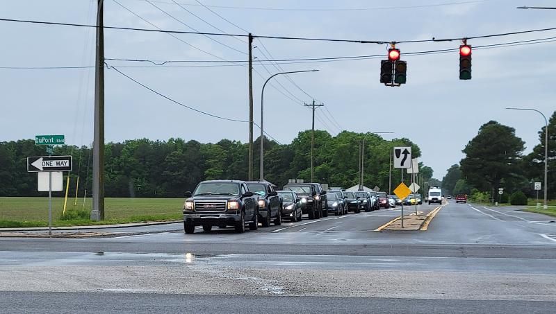
That’s what I did this past Memorial Day weekend. I went west Friday morning and headed back east Monday afternoon. Most of the time there’s not much to look at on that stretch of Sussex County road – woods, homes and farm fields. When I’m on it, unless there’s an every-day-is-Sunday driver slowing me down, I’m typically trying to get through it as efficiently as possible.
Sometimes, though, the traffic is too heavy to be efficient and there’s nothing to do but look at all of the out-of-state license plates heading to the area’s beaches. I’m not sure why, but I get an odd satisfaction from heading in the opposite direction of the traffic. Maybe it’s because my job necessitates me sitting in beach traffic to get to appointments and assignments, so it feels good when I don’t have to do that.
Mainly, this time of year, it serves as a reminder that I now have to leave 40 minutes earlier to get to those appointments and assignments.
Joke of the Week
I’m not much of a fisherman. I enjoy the part about being outside, and I certainly enjoy eating fish, but I enjoy crabbing more – tie up some chicken necks, sit on the dock waiting for the twine to go taut, net the crab (most of the time), repeat. I recognize there’s not a whole lot of difference between the two, but I just like crabbing more. If I had to guess, it’s because I like my hands being clean and there’s not much to deal with bait after the chicken necks are tied on. Anyway, here’s a joke about fishing. As always, send jokes to cflood@capegazette.com
Game warden: Didn’t you see the no-fishing sign, son?
Boy: I’m not fishing, sir. I’m teaching these worms how to swim!
Chris Flood has been working for the Cape Gazette since early 2014. He currently covers Rehoboth Beach and Henlopen Acres, but has also covered Dewey Beach and the state government. He covers environmental stories, business stories, random stories on subjects he finds interesting and has a column called ‘Choppin’ Wood’ that runs every other week. Additionally, Chris moonlights as the company’s circulation manager, which primarily means fixing boxes during daylight hours that are jammed with coins, but sometimes means delivering papers in the middle of the night. He’s a graduate of the University of Maine and the Landing School of Boat Building & Design.


